Inertial Systems
Navigation for GPS-Denied Environments
Inertial Systems are critical components of modern aviation avionics, providing precise navigation and positioning information without reliance on external signals like GPS. These systems, often based on Inertial Navigation Systems (INS), use gyroscopes, accelerometers, and advanced algorithms to determine an aircraft’s position, velocity, and orientation. Inertial systems are widely used in military, civil aviation, surveillance missions, and emergency response operations, ensuring reliable navigation in GPS-denied environments.
Benefits
-
GPS Independence: Provides reliable navigation and positioning without reliance on satellite signals.
-
Precision and Stability: Ensures accurate stabilization and data for critical avionics systems.
-
Operational Resilience: Functions effectively in contested, degraded, or GPS-jammed environments.
-
Enhanced Mission Efficiency: Improves situational awareness and mission accuracy for ISR, mapping, and SAR operations.
-
Versatility: Integrates seamlessly into various platforms, including fixed-wing aircraft, helicopters, and UAVs.
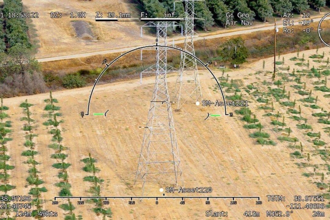
Applications of Inertial Systems
Inertial systems provide precise, self-reliant navigation, ensuring accuracy in GPS-denied or jammed environments across military, civil aviation, and emergency operations.
For military and ISR missions, they enable accurate positioning and stabilization of EO/IR cameras, radars, and weapon systems, ensuring operational effectiveness in GPS-jammed areas. In UAS operations, they support precise navigation for UAVs conducting surveillance, mapping, and reconnaissance in remote or contested environments.
In surveying and mapping, inertial systems integrate with LiDAR and photogrammetry sensors, providing high-accuracy motion data for terrain modeling. For search and rescue (SAR), they enhance navigation reliability in areas with weak satellite signals, ensuring precise search operations.
In civil aviation and emergency response, these systems improve autopilot functionality and flight stability, enhancing safety and mission effectiveness in challenging conditions. With their independent, high-precision capabilities, inertial systems are essential for secure, resilient aviation navigation.
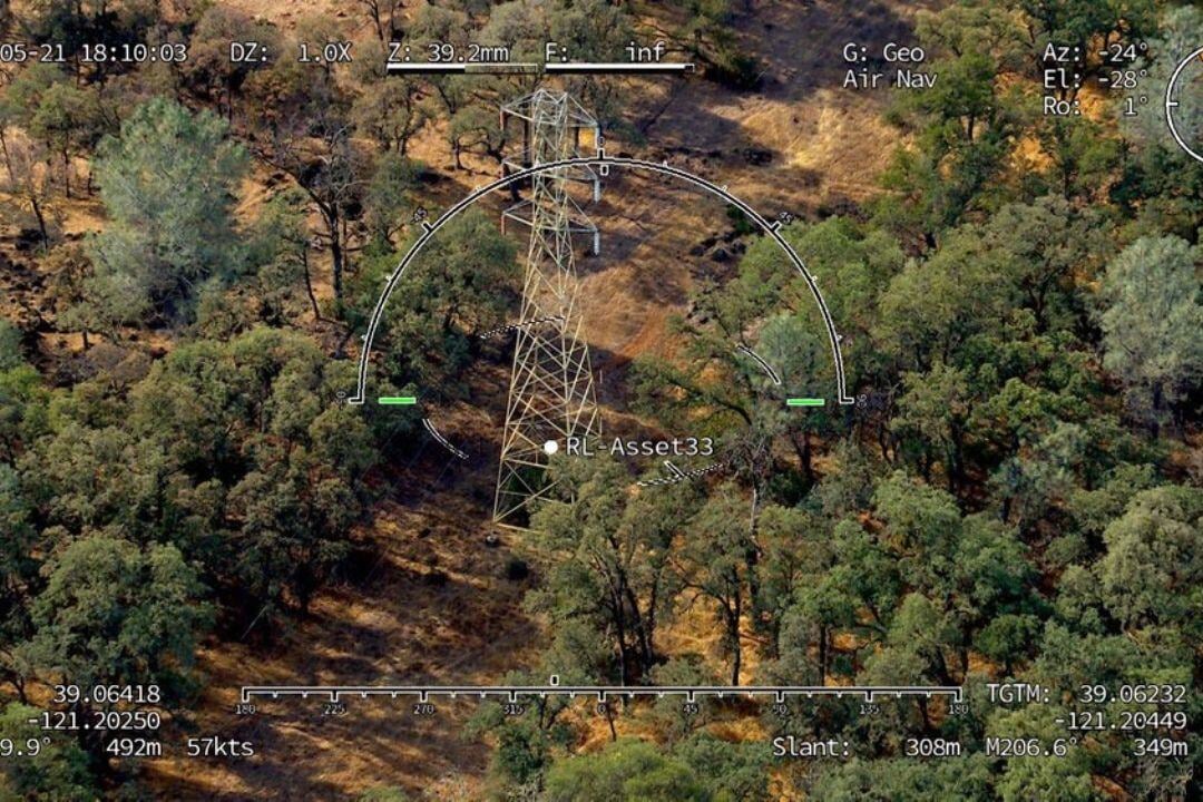
Key Features of Inertial Systems
Robust and Independent Operation
Seamless Integration with Avionics Systems
Compact and Lightweight Design
Gyroscopic Stabilization
High-Precision Navigation
Highlighted Inertial Systems
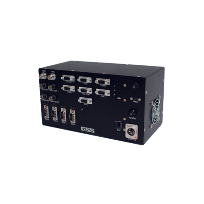
GEOPRO™ INS
- High-performance, gyro-stabilized INS offering precise navigation and stabilization capabilities.
- Features advanced motion sensors and algorithms to ensure superior accuracy and reliability.
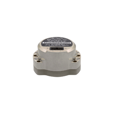
Honeywell HG1930 IMU
- Compact, lightweight inertial system designed for UAVs and manned aircraft.
- Provides accurate pitch, roll, and position data for complex missions.
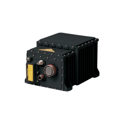
Northrop Grumman LN-251 INS
- Combines INS with GPS for blended navigation, ensuring superior accuracy in dynamic environments.
- Widely used in military and civilian aircraft.
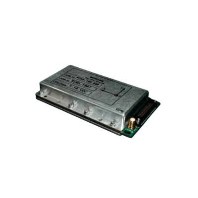
Collins Aerospace Miniature INS (MINAV)
- Small, high-performance inertial system optimized for UAV and rotary-wing applications.
- Ensures autonomous navigation in GPS-denied environments.
Check our Completed Projects


