Search & Rescue (SAR)
Advancements in Search and Rescue (SAR) Operations
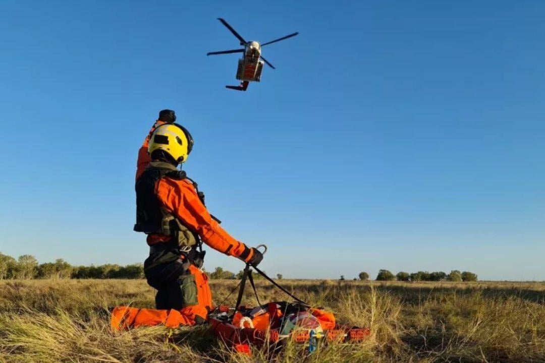
Search and Rescue (SAR) missions are vital for locating and assisting individuals in distress, often in challenging terrains and extreme conditions. Technological advancements have significantly enhanced response times, accuracy, and overall mission success.
Integrating UAVs, AI, and real-time data processing allows SAR teams to quickly survey large areas, identify potential victim locations, and deploy resources efficiently. Satellite systems ensure instant detection of distress signals, enabling rapid mobilization of rescue teams. However, SAR operations face challenges, including adverse weather, complex landscapes, and resource allocation demands. Additionally, the use of drones and AI must comply with privacy and regulatory considerations.
Despite these challenges, advanced SAR technologies revolutionize emergency response, improving efficiency, accuracy, and life-saving capabilities. By leveraging cutting-edge surveillance, communication, and navigation systems, SAR teams can operate faster and more effectively, increasing survival rates.

More about Technologies

EO/IR Sensors
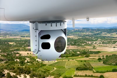
Electro-Optical/Infrared (EO/IR) sensors are critical tools in aviation for enhancing situational awareness, surveillance, and mission performance.

Aerial Drone Platforms
Aerial drone platforms for surveillance and mapping are advanced unmanned systems that offer high-precision data collection and real-time situational awareness.

Search & Landing Lights
Search Lights and Steerable Landing Lights enhance visibility, safety, and precision in special missions and critical flight operations.

Datalinks
Datalinks are essential for real-time, secure communication in aviation, ensuring seamless data transfer between aircraft, ground stations, and command centers.


