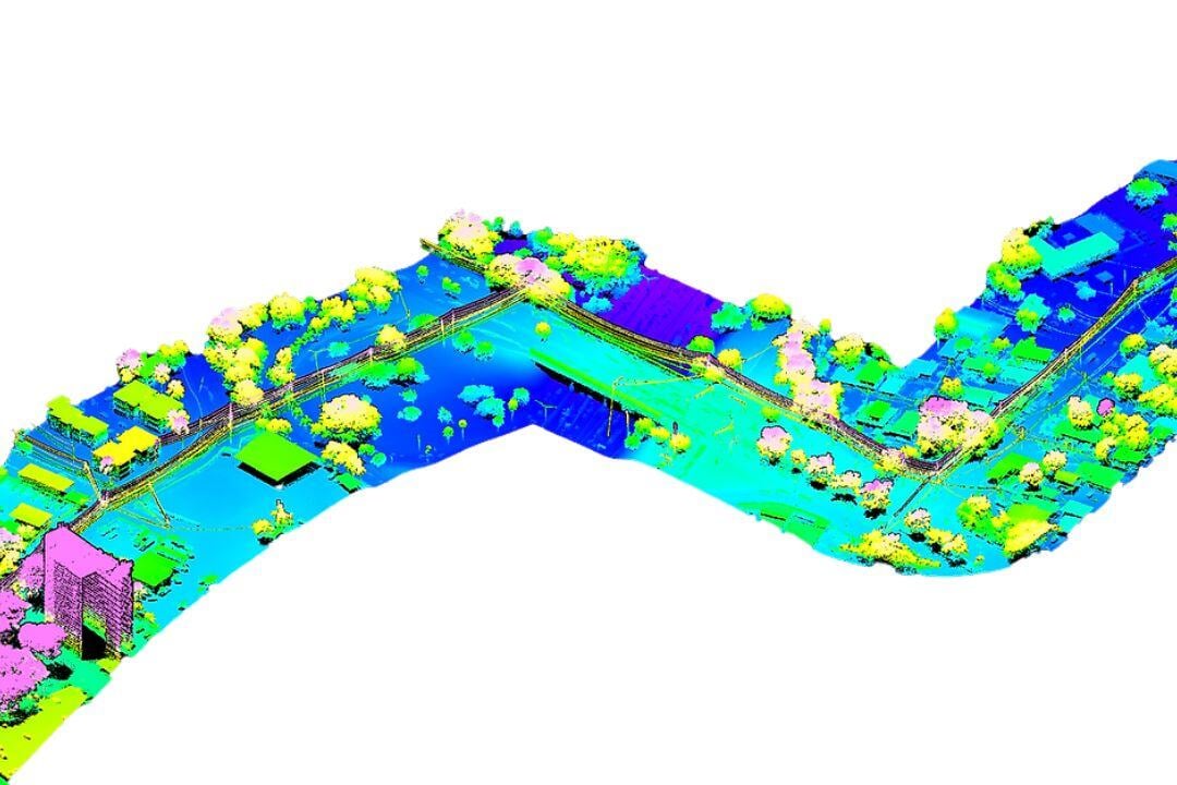
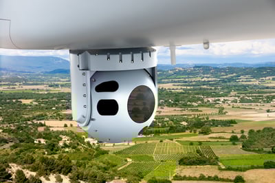
Corridor mapping involves capturing high-precision geospatial data along roads, railways, pipelines, and powerlines, with aircraft and helicopters playing a crucial role in ensuring efficient and accurate data collection over challenging terrain. Helicopters equipped with LiDAR provide detailed, low-altitude scans, while fixed-wing aircraft cover extensive corridors for large-scale mapping. Multispectral and hyperspectral sensors enhance monitoring by detecting environmental risks, and photogrammetry delivers high-resolution visual insights for infrastructure planning and maintenance.
Challenges include navigating difficult landscapes, processing large datasets, and complying with airspace regulations near critical infrastructure. Despite these, aviation-based corridor mapping offers unmatched speed, accuracy, and efficiency, making it essential for infrastructure development, environmental assessments, and asset management.