Advanced Avionics
Precision, Safety, and Efficiency for Mission-Critical Aviation
Avionics systems are the technological backbone of modern aviation, providing navigation, communication, and situational awareness essential for military, surveillance, search and rescue (SAR), and emergency response missions. These advanced systems enhance flight safety, mission accuracy, and operational efficiency, ensuring seamless performance in demanding and high-risk environments.
From precision navigation tools to tactical battlefield systems, our avionics solutions are designed to support both manned and unmanned aircraft, enabling accurate positioning, real-time threat detection, and mission-critical decision-making. Whether operating in GPS-denied environments, low-visibility conditions, or contested airspace, our cutting-edge avionics ensure unparalleled reliability and control.

Our Avionics Solutions

Milacas XR Systems
Milacas XR Systems are cutting-edge avionics solutions that leverage extended reality (XR) technologies, including augmented reality (AR)...

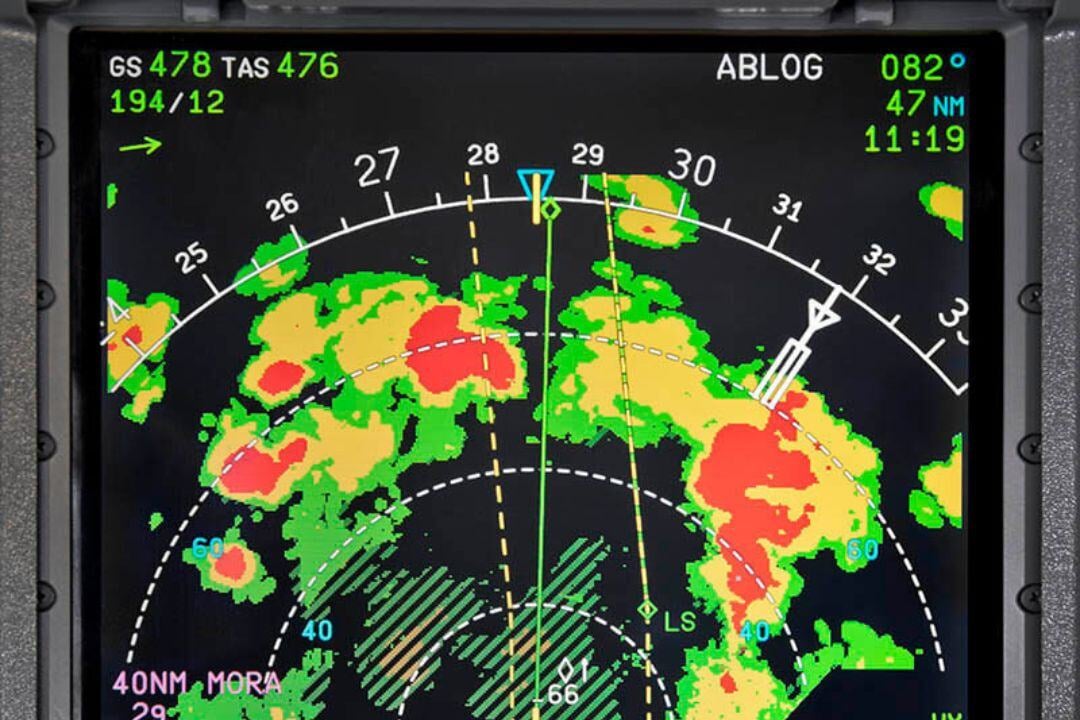
Weather Radars
Weather Radars are vital avionics systems designed to detect and analyze atmospheric conditions, providing real-time weather information to...

NVG Integration
Night Vision Goggles (NVG) integration in avionics enhances the capability of aircraft to operate effectively during low-light or night-time conditions.

IFF Systems
Identification Friend or Foe (IFF) systems are critical avionics tools that enable secure and reliable identification of aircraft, ships, and ground units.

Military GPS & Inertial Systems
Military GPS systems are specialized navigation solutions designed to provide precise, reliable, and secure positioning data for aviation platforms operating in challenging...
%20prod.jpg?width=400&name=OspreyTM%20Digital%20Map%20Solution%20(L3Harris)%20prod.jpg)
Digital Moving Maps
Digital Moving Maps (DMM) are advanced avionics tools that provide real-time situational awareness by displaying an aircraft's position and movement over detailed, georeferenced maps.

TACAN
Tactical Air Navigation (TACAN) is a specialized navigation system designed for military aircraft, providing precise azimuth and distance information relative to a ground station or...

Directional Finders
Directional Finders (DF) are critical avionics systems used to determine the bearing of a radio signal source, enabling precise navigation, tracking, and...
Check our Completed Projects


