Environmental & Resource Monitoring
Environmental & Resource Monitoring in Emergency Services
Environmental and resource monitoring is essential for assessing ecological health, managing natural resources, and responding to environmental hazards. Advanced technologies improve data collection, analysis, and response, enabling emergency services to detect changes, mitigate risks, and optimize resource management.
IoT sensors continuously track air and water quality, transmitting real-time data via cloud computing platforms for analysis. GIS integrates this data with satellite imagery to visualize environmental changes, while UAVs provide aerial assessments for enhanced situational awareness. However, challenges such as data integration, resource allocation, and privacy concerns must be addressed for effective deployment.
Despite these challenges, integrating UAVs, GIS, IoT sensors, and real-time data processing enhances environmental monitoring, decision-making, and proactive resource management, allowing emergency services to respond swiftly and effectively to ecological threats.

More about Technologies

EO/IR Sensors
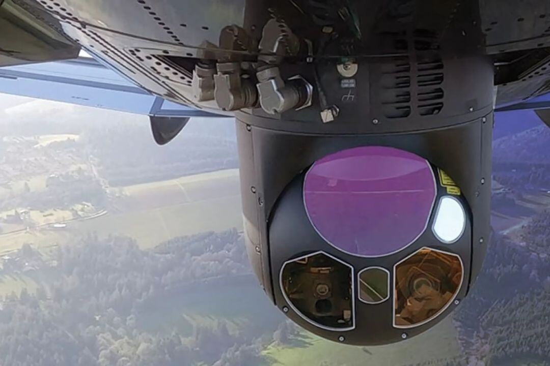
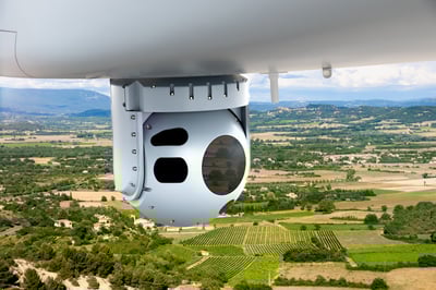
Electro-Optical/Infrared (EO/IR) sensors are critical tools in aviation for enhancing situational awareness, surveillance, and mission performance.

Aerial Drone Platforms
Aerial drone platforms for surveillance and mapping are advanced unmanned systems that offer high-precision data collection and real-time situational awareness.

Laser Scanners
Laser scanners, particularly airborne LiDAR (Light Detection and Ranging) systems, are essential tools in modern aviation for delivering high-precision 3D mapping and terrain analysis.

Inertial Systems & Mil. GPS
Inertial Systems and Military GPS provide precise, secure, and independent navigation for aviation operations in challenging environments.


