Aviation Solutions for Wildlife Monitoring
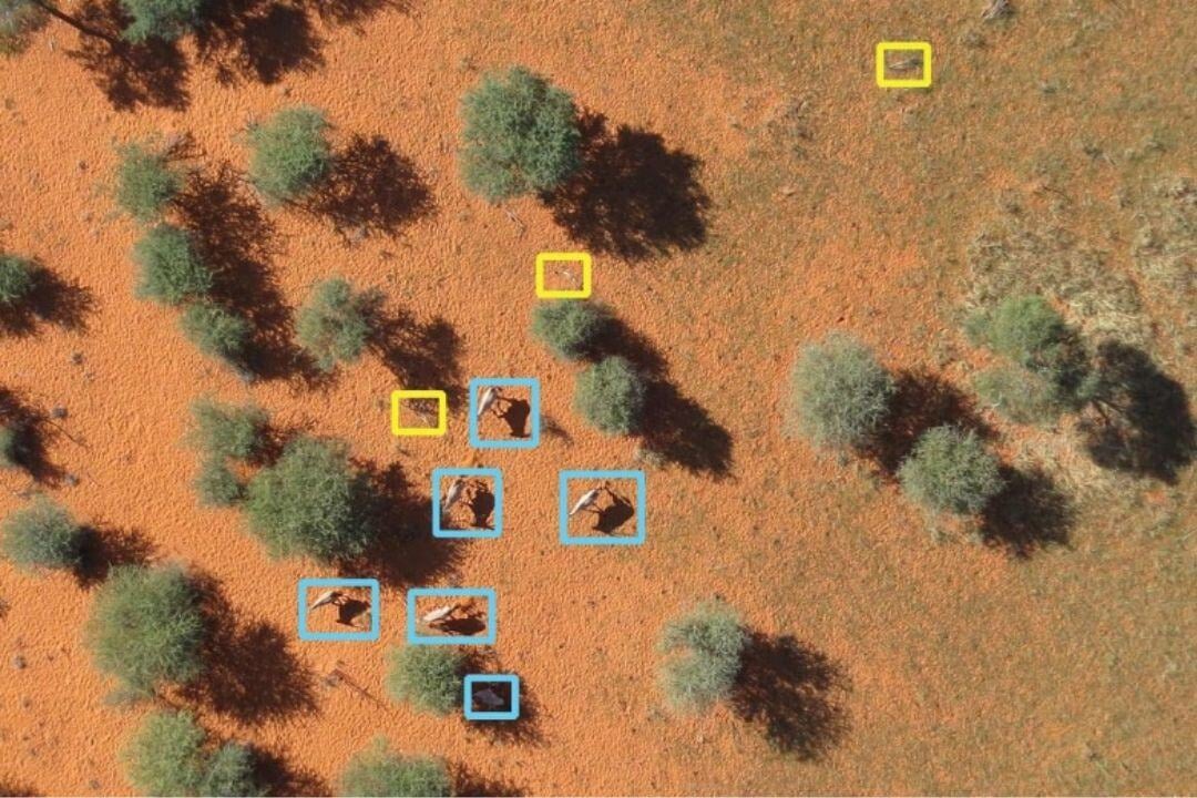
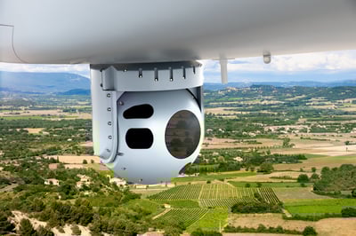
Aviation plays a vital role in wildlife monitoring and conservation, enabling efficient observation, tracking, and protection of animal populations in remote or environmentally sensitive areas. Fixed-wing aircraft conduct large-scale patrols, while UAVs equipped with EO/IR sensors and laser scanning systems provide detailed, localized monitoring. Satellite communication (SATCOM) ensures real-time data transfer, improving coordination during critical conservation missions.
However, challenges such as high operational costs, environmental impact, and regulatory compliance must be managed to ensure sustainable monitoring efforts. By integrating manned and unmanned aircraft with advanced sensor technologies, aviation-based wildlife monitoring enhances conservation efforts, prevents illegal activities, and supports emergency response in even the most challenging environments.

More about Technologies

EO/IR Sensors
Electro-Optical/Infrared (EO/IR) sensors are critical tools in aviation for enhancing situational awareness, surveillance, and mission performance.

Aerial Drone Platforms
Aerial drone platforms for surveillance and mapping are advanced unmanned systems that offer high-precision data collection and real-time situational awareness.

Datalinks
Datalinks are essential for real-time, secure communication in aviation, ensuring seamless data transfer between aircraft, ground stations, and command centers.

Satellite Communicions
Beyond-Line-of-Sight (BLOS) Satellite Communications enable reliable, long-range connectivity for aviation operations, even in remote areas or where traditional communication...


