Aerial Solutions for Oil Spill Detection
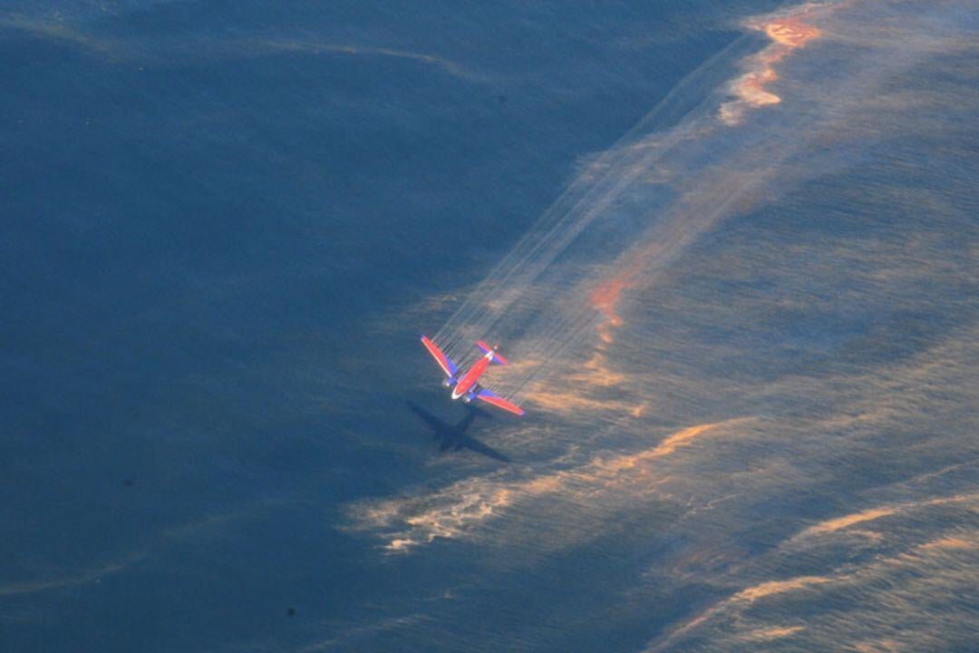
Oil spills pose severe threats to marine ecosystems, coastal regions, and economies, making rapid detection and response crucial. Aviation technologies provide real-time monitoring and precise data, enabling emergency services to identify, track, and contain spills efficiently, even in challenging conditions.
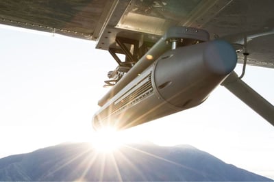
A multi-layered detection approach combines SAR for wide-area surveillance, UAVs for localized inspections, and hyperspectral imaging or laser fluorosensors for detailed spill analysis. These tools enhance situational awareness, allowing for faster response and mitigation efforts. However, challenges such as weather conditions, resource allocation, and regulatory compliance must be managed to ensure effective operations.
Despite these challenges, aircraft and UAV-based monitoring solutions significantly improve oil spill response, minimizing environmental and economic damage while supporting sustainable maritime protection efforts.

More about Technologies

EO/IR Sensors
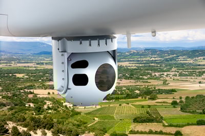
Electro-Optical/Infrared (EO/IR) sensors are critical tools in aviation for enhancing situational awareness, surveillance, and mission performance.

SAR Radars
Synthetic Aperture Radar (SAR) systems are advanced imaging tools used in aviation to deliver high-resolution radar imagery over vast areas, regardless of weather conditions or lighting.

Datalinks
Datalinks are essential for real-time, secure communication in aviation, ensuring seamless data transfer between aircraft, ground stations, and command centers.

Inertial Systems & Mil. GPS
Inertial Systems and Military GPS provide precise, secure, and independent navigation for aviation operations in challenging environments.


