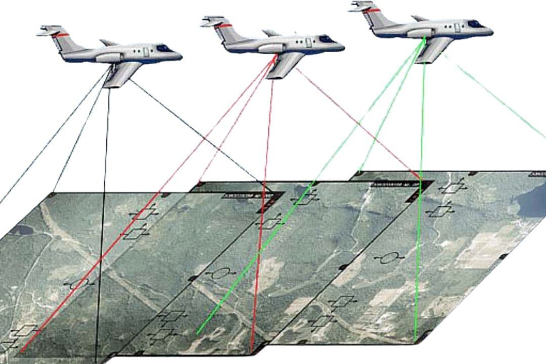
Photogrammetry is a key technology in aerial surveying and mapping, allowing aircraft and helicopters equipped with high-resolution imaging systems to capture precise spatial data. These images are processed to create accurate 2D maps and 3D models, supporting applications in topographic mapping, urban planning, and infrastructure development.
When combined with LiDAR, photogrammetry enhances data accuracy and model quality, enabling detailed terrain analysis and infrastructure assessments. Fixed-wing aircraft efficiently cover large areas for high-altitude mapping, while helicopters excel in capturing high-resolution imagery at lower altitudes, offering flexibility for corridor mapping and detailed inspections.
Challenges include weather conditions affecting image clarity, regulatory compliance for aerial operations, and high data processing demands. Despite this, photogrammetry remains an essential tool in aviation, providing fast, accurate, and cost-effective solutions for geospatial analysis and infrastructure planning.