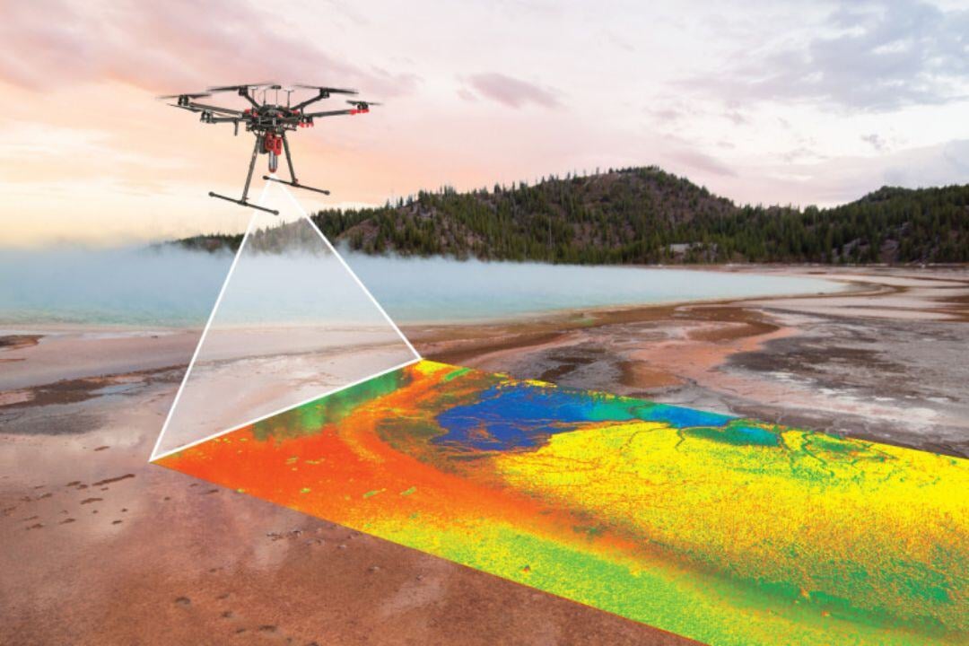
Hyperspectral imaging has transformed aerial surveying and mapping, allowing aircraft and helicopters equipped with advanced sensors to capture detailed spectral data across a wide range of wavelengths. This technology is essential for mineral exploration, vegetation analysis, and environmental monitoring, providing high-resolution insights into surface composition and ecological conditions.
When integrated with LiDAR and multispectral imaging, hyperspectral data enhances accuracy and terrain analysis, offering a comprehensive view of geological and environmental landscapes. Machine learning further refines data interpretation, improving applications like geological mapping and resource assessments.
Challenges include large data volumes requiring extensive processing, environmental factors affecting image quality, and sensor calibration for precise analysis. Despite these, hyperspectral imaging remains a powerful tool in aviation, delivering critical intelligence for decision-making, resource management, and ecological studies.