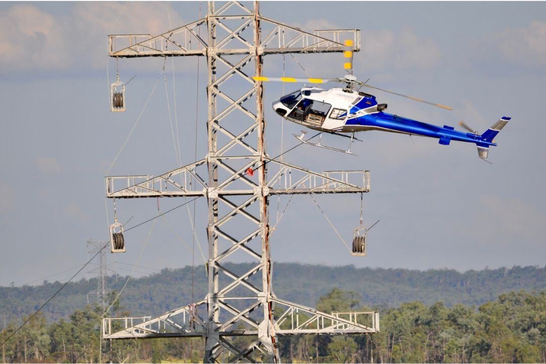
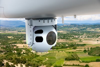
Aviation plays a crucial role in monitoring and maintaining critical infrastructure, ensuring the safety and integrity of pipelines and powerlines. Helicopters and fixed-wing aircraft cover vast areas quickly, while UAVs perform close-up inspections, detecting potential failures before they escalate. LiDAR and infrared sensors enhance detection of structural weaknesses, vegetation encroachment, and thermal anomalies, while satellite surveillance provides large-scale assessments for a comprehensive monitoring approach.
However, aviation-based monitoring faces challenges such as regulatory compliance, resource allocation, and data management. Operators must adhere to airspace regulations, invest in specialized technology and trained personnel, and implement efficient data processing systems to extract actionable insights.
Despite these challenges, aircraft and UAV-based monitoring solutions enable faster, more precise inspections, reducing response times and operational risks. By integrating advanced aerial surveillance technologies, emergency services can proactively detect and address infrastructure threats, ensuring continuous service reliability and public safety.