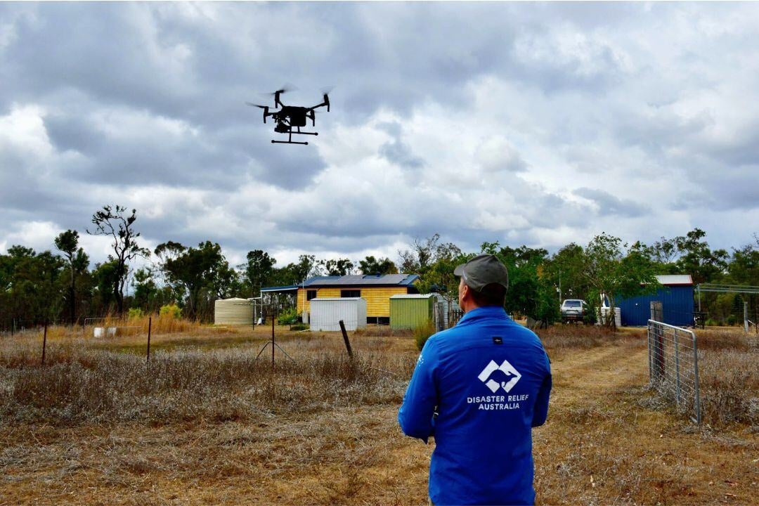
Rapid Response Through Advanced Technology
Disaster relief operations provide immediate assistance to communities affected by natural or man-made disasters, and advanced technologies have significantly improved efficiency and response times.
Integrating UAVs, AI, and data analytics allows responders to quickly assess affected areas, optimize resource distribution, and enhance coordination. GIS mapping aids planning, while real-time communication technologies ensure seamless collaboration among response teams and affected populations.
However, challenges such as damaged infrastructure, resource limitations, and data privacy concerns can impact response efforts. Despite these obstacles, advanced disaster relief technologies improve situational awareness, speed up emergency response, and enhance resource management, ultimately saving lives and reducing the impact of disasters.

More about Technologies

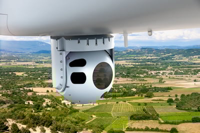
EO/IR Sensors
Electro-Optical/Infrared (EO/IR) sensors are critical tools in aviation for enhancing situational awareness, surveillance, and mission performance.

Aerial Drone Platforms
Aerial drone platforms for surveillance and mapping are advanced unmanned systems that offer high-precision data collection and real-time situational awareness.

Search & Landing Lights
Search Lights and Steerable Landing Lights enhance visibility, safety, and precision in special missions and critical flight operations.

Datalinks
Datalinks are essential for real-time, secure communication in aviation, ensuring seamless data transfer between aircraft, ground stations, and command centers.


