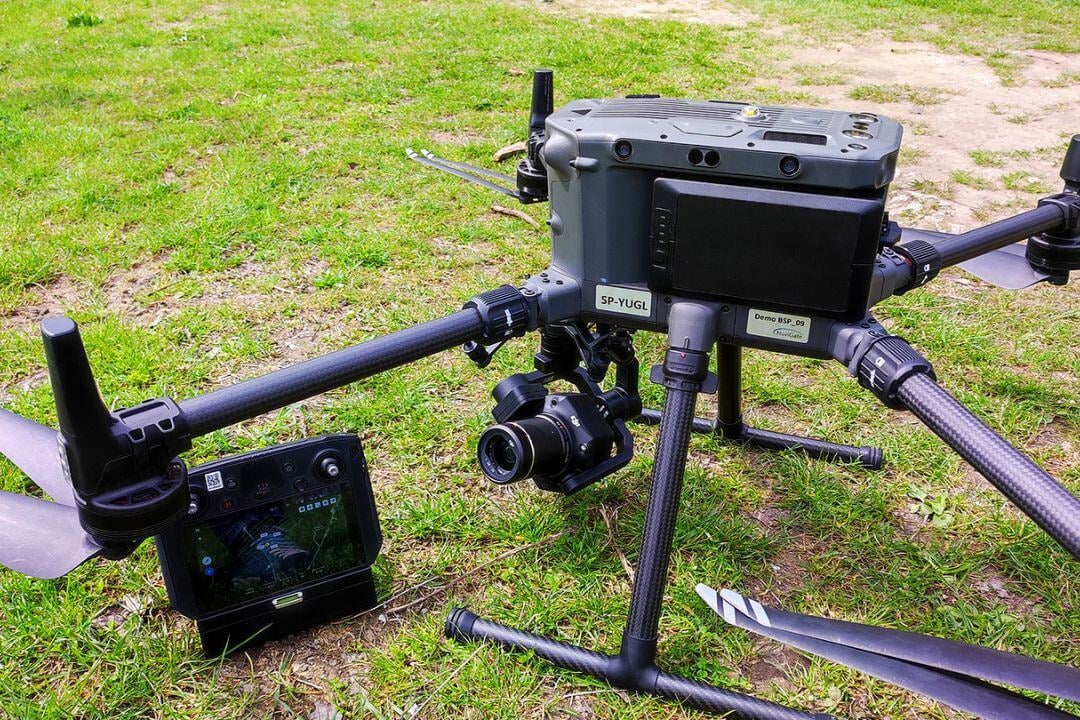
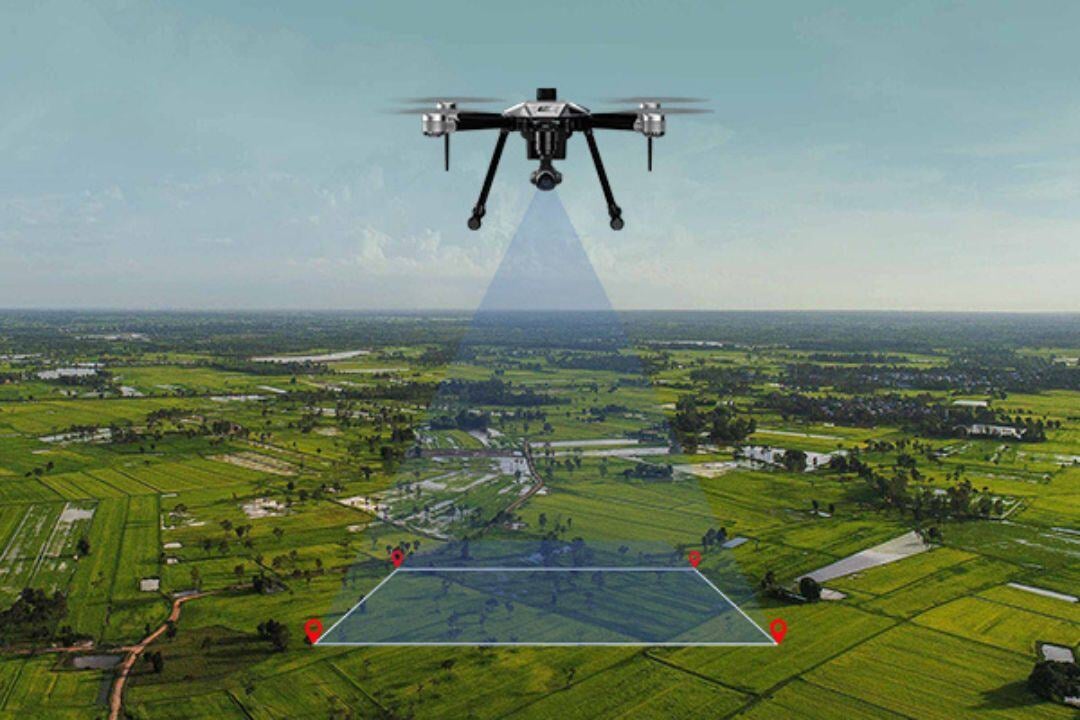
Aerial drone platforms provide real-time intelligence and high-precision data collection, supporting surveillance, SAR, disaster assessment, environmental monitoring, and infrastructure inspection.
For surveillance and reconnaissance, drones monitor borders, critical infrastructure, and restricted zones, enhancing threat detection and situational awareness. In search and rescue (SAR), they use thermal imaging and GPS tracking to locate survivors, debris, or hazards in remote areas.
During disaster assessment, drones capture detailed imagery of affected zones, aiding in relief planning and resource allocation. For environmental monitoring, they track wildlife, forest changes, and erosion, providing valuable conservation data. In infrastructure inspection, drones survey powerlines, pipelines, and critical assets, generating high-precision maps for maintenance planning.
With autonomous capabilities and access to hard-to-reach areas, drone platforms enhance efficiency, accuracy, and cost-effectiveness in modern aviation missions.