GSS GEOPRO™ INS
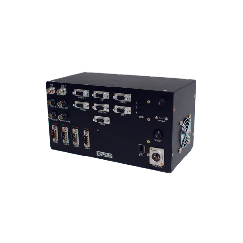
The GeoPro™ Inertial Navigation System (INS) by GSS is a high-accuracy, customizable solution designed to meet the geo-location needs of a wide range of applications. Equipped with an internal Inertial Measurement Unit (IMU), GeoPro™ offers precision navigation and data output that can be tailored for different operational needs. The system provides unparalleled flexibility, ensuring that users can customize the data feed and external gimbal control to suit their specific requirements.
Precision and Flexibility for Diverse Applications
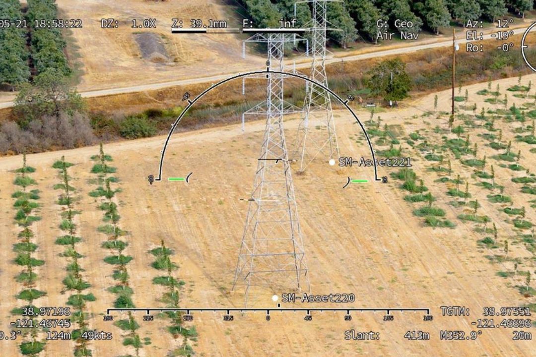
The GeoPro™ INS is engineered to deliver exceptional geo-location accuracy while offering complete control over the data output. The system supports pilot assistance, heading input correction, and geo-locking features to ensure precise, real-time navigation. With GSS overlays, focus, and metadata insertion, GeoPro™ enhances the user experience by providing clear and actionable insights. Additionally, its ability to integrate with KML point display and digital elevation models makes it an ideal choice for applications requiring detailed spatial data, such as mapping, aerial surveys, and geospatial analysis.

Customization and Integration for Specific Needs
The GeoPro™ system’s open architecture allows for full customization, making it suitable for a wide array of industries. From KML imports to geo overlays, the system can be tailored to integrate with external systems and platforms seamlessly. The flexibility of GeoPro™ means that it can be adapted for everything from UAVs to manned aircraft, providing high-precision data outputs for real-time navigation, situational awareness, and operational efficiency. Whether for commercial, military, or research purposes, the GeoPro™ ensures your geo-location needs are met with precision and adaptability.