Laser Scanners
Precision Mapping & Terrain Analysis for Advanced Aviation Missions
Laser scanners, particularly airborne LiDAR (Light Detection and Ranging) systems, are essential tools in modern aviation for delivering high-precision 3D mapping and terrain analysis. By emitting laser pulses and measuring the time it takes for the reflections to return, these systems generate detailed point cloud data, enabling the creation of accurate 3D models of landscapes, infrastructure, and natural resources. Laser scanners are widely used in surveying and mapping, environmental monitoring, infrastructure assessments, and emergency response missions.
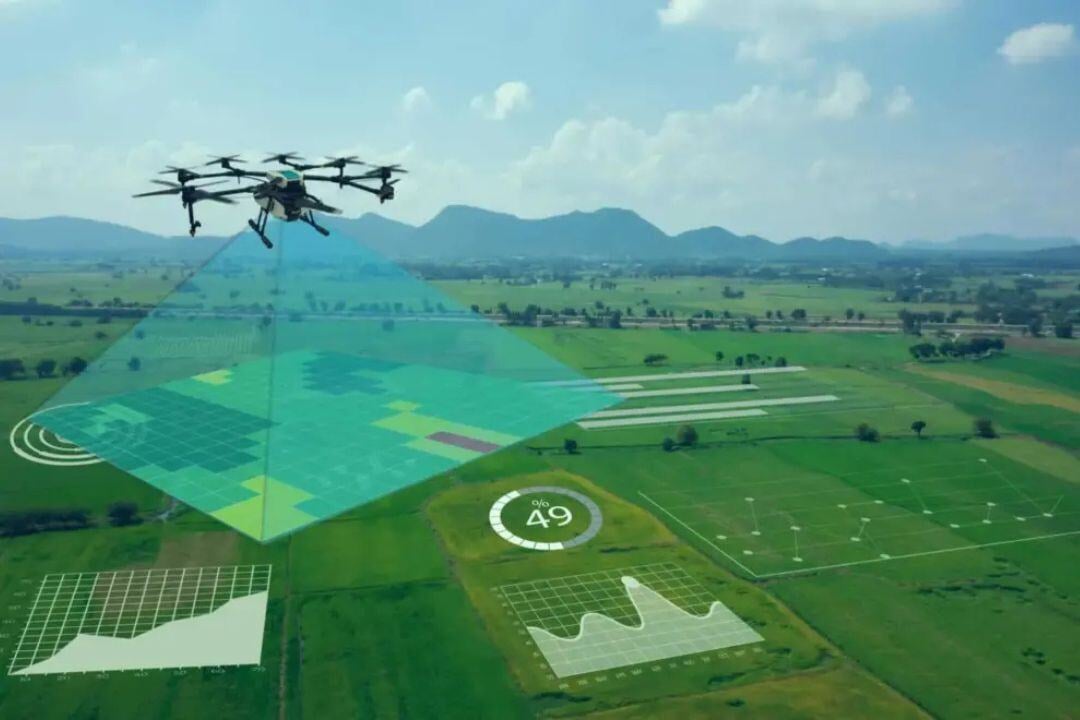
Applications of Airborne LiDAR Systems
Airborne LiDAR systems are essential for high-precision mapping, infrastructure monitoring, and environmental analysis, providing detailed 3D models for diverse applications.
In surveying and corridor mapping, helicopter-mounted LiDAR offers precise mapping of powerlines, pipelines, railways, and highways, capturing high-resolution data along narrow corridors. For topographic and terrain mapping, these systems generate Digital Elevation Models (DEMs) and Digital Surface Models (DSMs), aiding in urban planning, flood modeling, and infrastructure development.
LiDAR is also crucial for forestry and vegetation monitoring, measuring canopy density, tree height, and biomass to support environmental and resource management. In disaster response, it enables rapid assessment of landslides, floods, and earthquake-affected areas, penetrating dense forest cover to locate debris or blocked pathways in search and rescue missions.
For mining and resource exploration, LiDAR provides 3D models of excavation sites, supporting volume calculations, safety assessments, and operational planning. With high-accuracy terrain mapping and real-time data acquisition, airborne LiDAR continues to enhance precision, efficiency, and decision-making across multiple industries.

Highlighted Laser Scanners
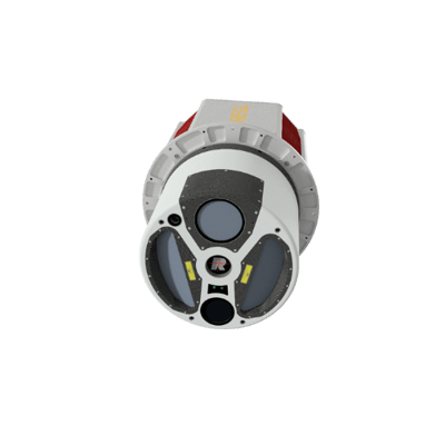
RIEGL VQ-1560 II-S
- Dual-channel airborne LiDAR scanner offering high-density point clouds and exceptional accuracy.
- Ideal for large-area topographic mapping, forestry, and urban infrastructure assessments.
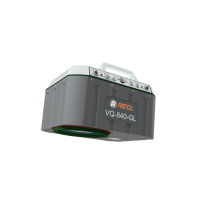
RIEGL VQ-840-GL
- Green laser scanner specifically designed for bathymetric applications, including coastal and shallow water mapping.
- Combines terrestrial and underwater terrain modeling.
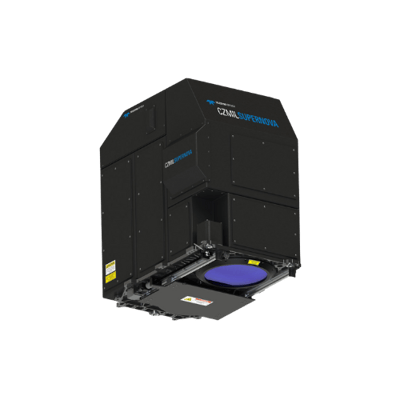
CZMIL SuperNova (Teledyne Optech)
- Advanced airborne LiDAR system designed for coastal and environmental mapping.
- Captures both land and waterbed data with high accuracy.
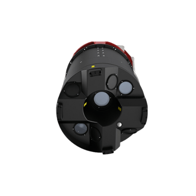
Leica TerrainMapper-2
- High-performance LiDAR scanner for corridor mapping and wide-area topographic surveys.
- Optimized for infrastructure monitoring, such as railways, roads, and powerlines.
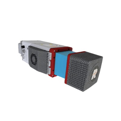
miniVUX-3UAV (RIEGL)
- Compact LiDAR scanner designed for integration with UAV platforms.
- Perfect for targeted corridor mapping, infrastructure inspections, and small-area surveys.
Check our Completed Projects


