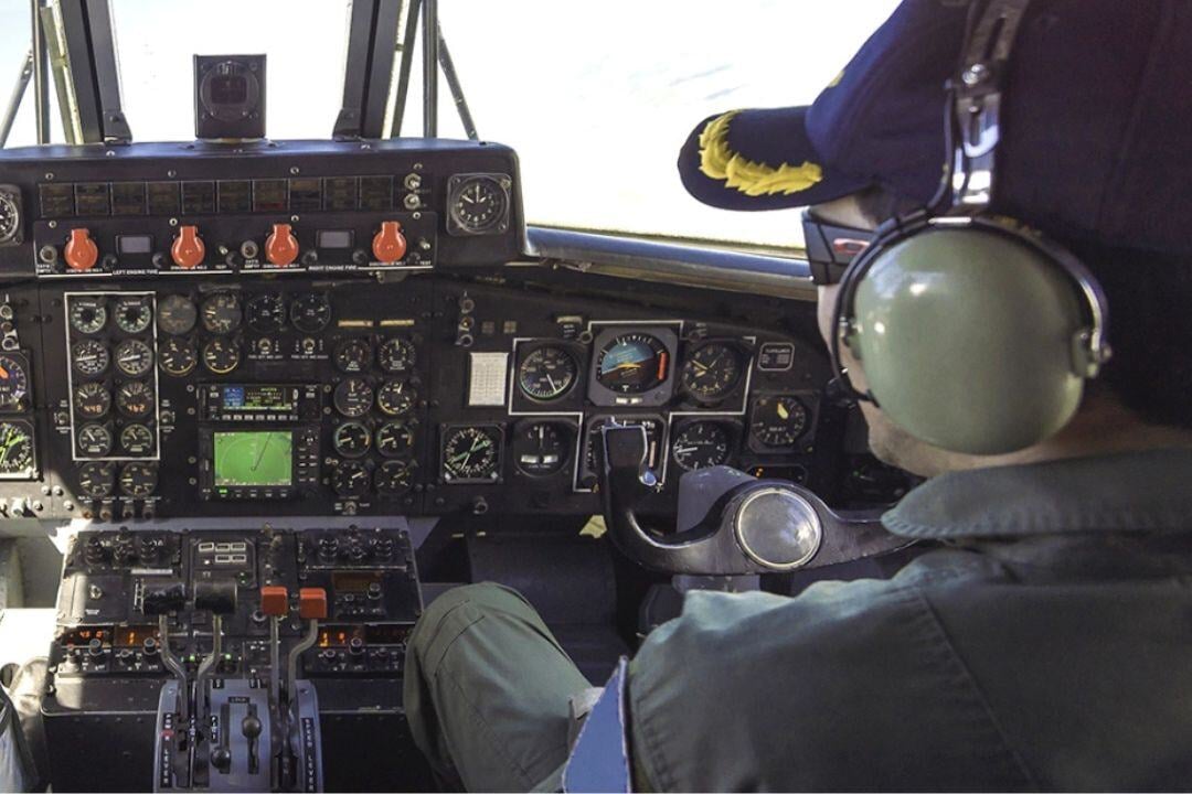
Modern TACAN systems are designed for seamless integration with aircraft avionics through standardized digital interfaces such as ARINC 429 and MIL-STD-1553B. These interfaces enable the system to function in coordination with Inertial Navigation Systems (INS) or Flight Management Systems (FMS), enhancing navigation accuracy and operational efficiency. Though often referred to as “secure” in casual descriptions, it is more accurate to characterize TACAN as “reliable and interference-resistant,” given its lack of cryptographic security features. When integrated effectively, TACAN supports mission-critical operations by providing robust navigational data, particularly in environments where satellite navigation systems may be denied or degraded.
TACAN
Tactical Air Navigation Functionality & Limitations
Tactical Air Navigation (TACAN) is a line-of-sight UHF radio navigation system widely used in military aviation for its robust and reliable range and bearing information. Operating within the protected military UHF band (962–1213 MHz), TACAN offers resilience to civilian interference but does not employ encryption or cryptographic protection, making it vulnerable to modern spoofing techniques. While it provides highly accurate azimuth and distance data when used with ground-based stations, in air-to-air (A/A) mode, TACAN delivers only slant range between aircraft—bearing information is not available in this configuration. This distinction is crucial in understanding its operational capabilities in formation flying, aerial refueling, and coordinated tactical maneuvers.

System Integration and Interoperability

Highlighted TACAN Systems
%20prod.png?width=400&name=AN-ARN-153%20(Collins%20Aerospace)%20prod.png)
Collins AN/ARN-153
The Collins Aerospace AN/ARN-153 is an advanced airborne TACAN system engineered to deliver precise azimuth and distance measuring equipment (DME) data, ensuring reliable navigation for tactical missions. Designed for integration on both fixed-wing and rotary-wing platforms, it offers robust performance in demanding operational environments, supporting accurate positioning and situational awareness across a wide range of military flight applications.

Honeywell H-764
The Honeywell H-764 is a high-performance Embedded GPS/INS (EGI) navigation system, designed for both military and civil applications. It provides accurate position, velocity, attitude, and heading data, offering features like blended INS/GPS, RNP/RNAV, and WAAS. Known for its reliability and ease of integration, the H-764 is certified to civil standards (DO-178B, DO-254) and has a demonstrated MTBF exceeding 25,000 hours, making it ideal for demanding navigation and flight control needs.

L3Harris IN602
The L3Harris IN602 is a versatile TACAN (Tactical Air Navigation) indicator designed to enhance situational awareness for pilots operating in complex environments. This rugged avionics component is engineered to provide clear, real-time navigation data, ensuring precise positioning during both air-to-air and air-to-ground operations.

BendixKing KTU-709
he BendixKing KTU-709 is a Tactical Air Navigation (TACAN) receiver designed to provide military and specialized aircraft with accurate slant-range distance and bearing information relative to TACAN or VORTAC ground stations.
Check our Completed Projects


